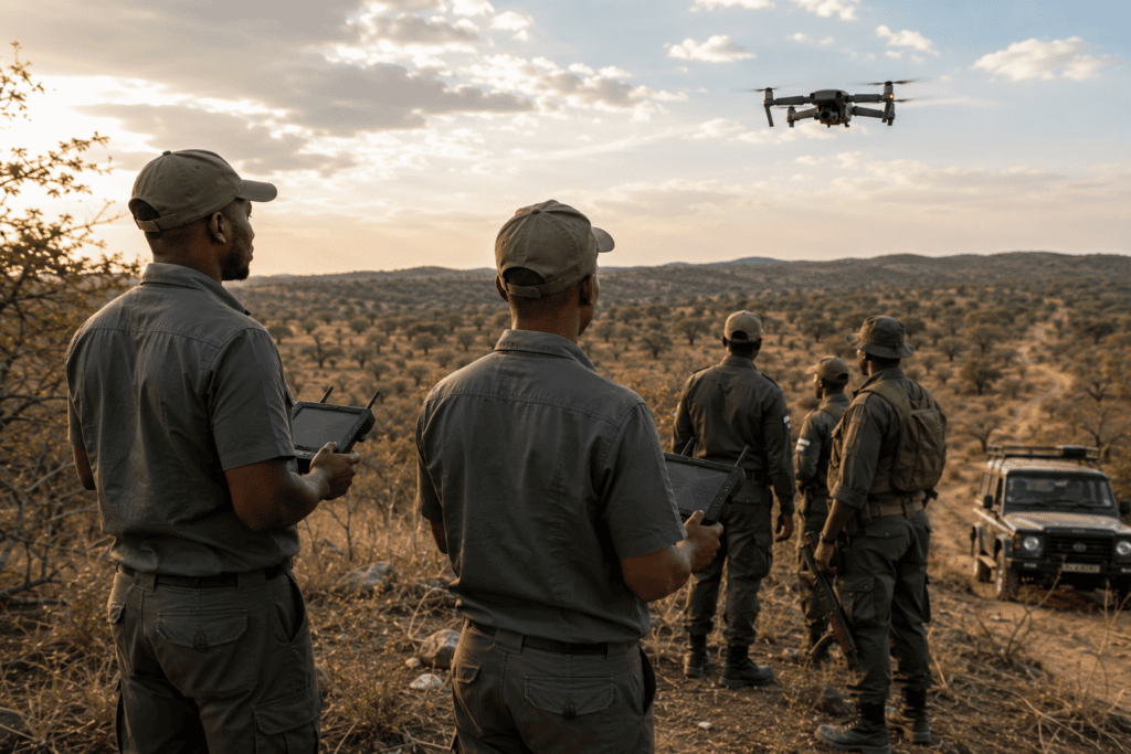
Africa’s wildlife and natural landscapes are among its greatest assets, making effective conservation more important than ever. Drone technology is transforming the way conservation organisations, national parks, private reserves and environmental agencies monitor wildlife, protect habitats and respond to threats. By providing a safe, efficient and non-invasive way to gather aerial data, drones help conservation teams make faster, more informed decisions while minimising disturbance to animals.
At Precision Aerial, we provide professional drone services for conservation organisations, wildlife reserves, safari operators, researchers, government agencies and environmental consultants across Africa. Our aerial solutions deliver accurate, high-resolution data that supports wildlife protection, habitat management and environmental monitoring.
Our Wildlife & Conservation Drone Services
Wildlife Monitoring & Population Surveys
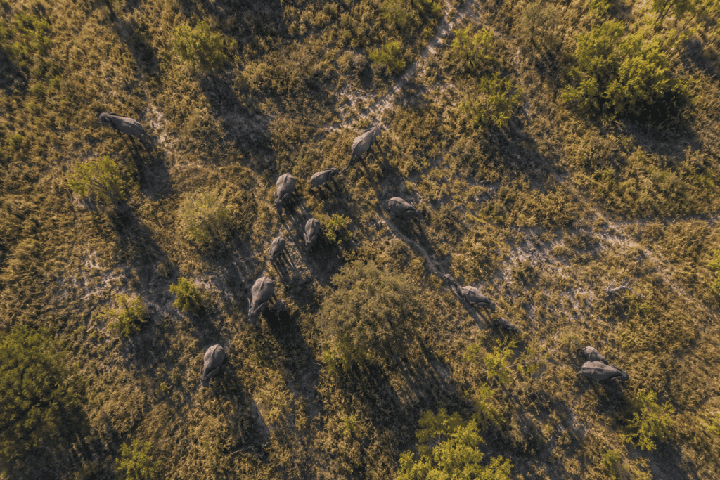
Monitor wildlife populations across large landscapes, track animal movements and support conservation research with accurate aerial imagery.
Anti-Poaching Support
Provide aerial surveillance to help rangers monitor vulnerable areas, identify suspicious activity and improve situational awareness during anti-poaching operations.
Habitat Mapping & Environmental Monitoring
Capture detailed aerial maps of forests, wetlands, rivers and protected areas to monitor habitat health, vegetation changes and ecosystem restoration projects.
Park & Reserve Management
Survey large game reserves, national parks and conservancies to assist with infrastructure planning, boundary monitoring and operational management.
Human-Wildlife Conflict Assessment
Support conservation teams by assessing areas affected by human-wildlife conflict, helping identify movement patterns and informing mitigation strategies.
Fire & Natural Disaster Assessment
Quickly assess the impact of wildfires, floods and storms on wildlife habitats, enabling faster response planning and environmental recovery efforts.
High-Resolution Aerial Photography & Video
Capture breathtaking aerial imagery and cinematic video for conservation reporting, fundraising campaigns, documentary production, tourism marketing and stakeholder engagement.
Why Choose Precision Aerial?
Our experienced drone pilots understand the unique challenges of operating in remote and environmentally sensitive areas. We work responsibly to minimise disturbance to wildlife while delivering reliable aerial data that supports conservation, research and sustainable land management.
Whether you’re protecting endangered species, managing a private game reserve, conducting environmental research or promoting eco-tourism, Precision Aerial delivers tailored drone solutions that help safeguard Africa’s natural heritage.
Ready to Support Your Conservation Project?
Contact Precision Aerial today to discuss your wildlife or conservation project. Our team is ready to provide professional drone services that deliver the aerial intelligence needed to protect ecosystems, support conservation efforts and preserve Africa’s extraordinary wildlife for future generations.